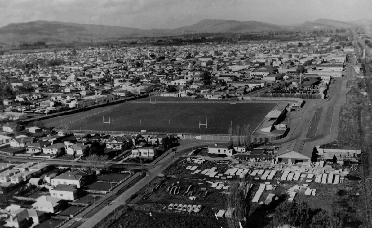
Hastings City Aerial View 1949
Original digital file
WebbKN538-3_Photos_002.jpg
Non-commercial use

This work is licensed under a Attribution-NonCommercial 3.0 New Zealand (CC BY-NC 3.0 NZ).
Commercial Use
Please contact us for information about using this material commercially.✖
Can you help?
The Hawke's Bay Knowledge Bank relies on donations to make this material available. Please consider making a donation towards preserving our local history.
Visit our donations page for more information.
Description
Caroline Road curves into Russell Street North
Lower – Hume Pipes – now Mitre 10 (2023)
Top right – Hastings Clock Tower
Top centre – spire of Sacred Heart Church


Do you know something about this record?
Please note we cannot verify the accuracy of any information posted by the community.