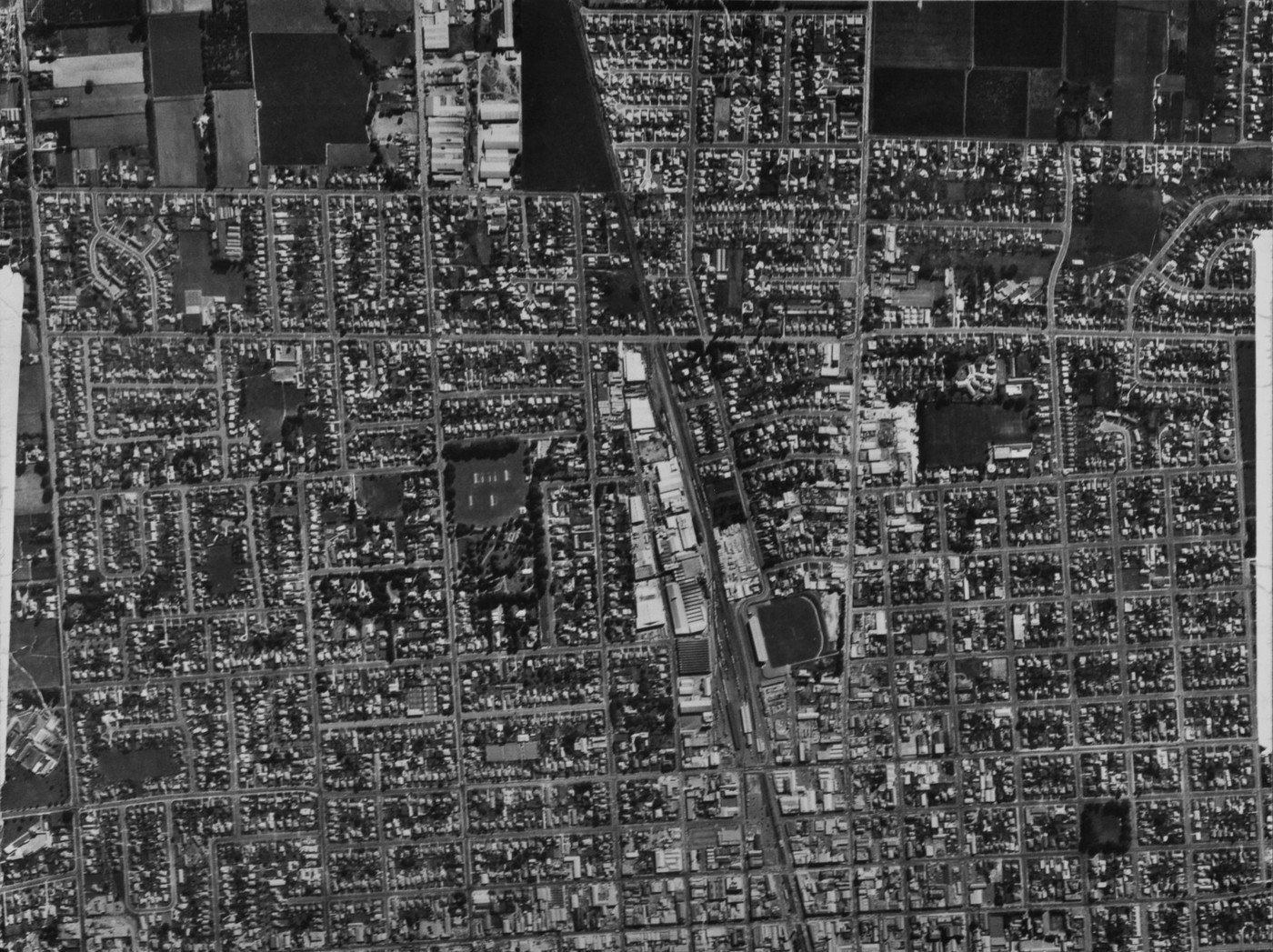
Hastings City Aerial View

Original digital file
HolmanT2301_Photos_002.jpg
Non-commercial use

This work is licensed under a Attribution-NonCommercial 3.0 New Zealand (CC BY-NC 3.0 NZ).
Commercial Use
Please contact us for information about using this material commercially.✖
Can you help?
The Hawke's Bay Knowledge Bank relies on donations to make this material available. Please consider making a donation towards preserving our local history.
Visit our donations page for more information.
Description
Centre – J Wattie Canneries, Nelson Park, Cornwall Park
Right – St John’s College
Top – Apple and Pear Board buildings
Pakowhai Road left vertical; Park Road right vertical
Kenilworth Street top horizontal, Heretaunga Street lower horizontal
Queen’s Square trees lower right
Subjects
Tags
Location
HastingsFormat of the original
Photographic printAccession number
554800Supporters and sponsors
We sincerely thank the following businesses and organisations for their support.


Do you know something about this record?
Please note we cannot verify the accuracy of any information posted by the community.