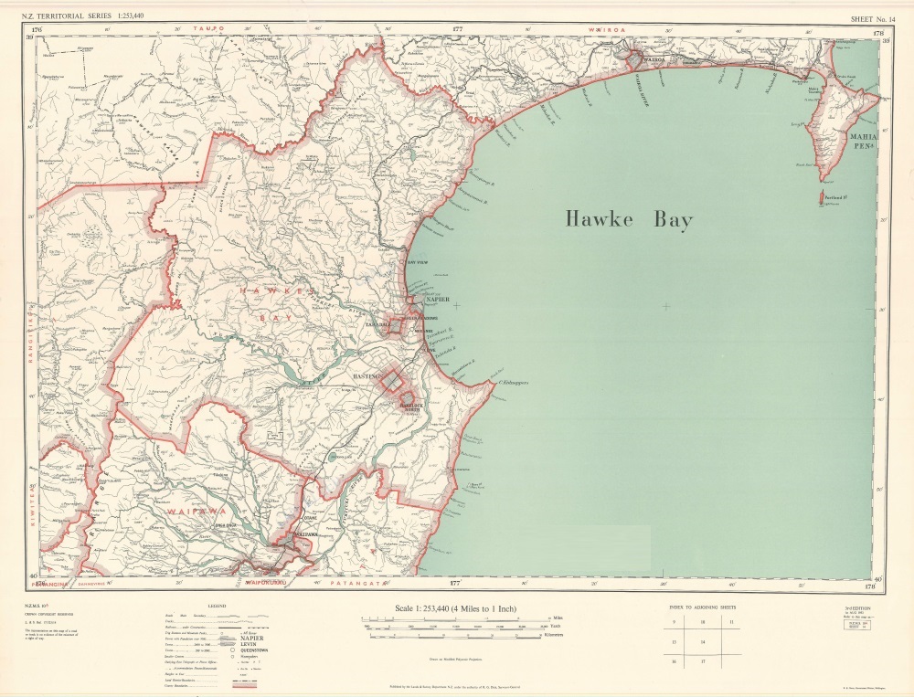
Hawke’s Bay County Map 1953
Original digital file
hastingsdc72-hbcounty-1953-01.jpg
Non-commercial use

This work is licensed under a Attribution-NonCommercial 3.0 New Zealand (CC BY-NC 3.0 NZ).
Commercial Use
Please contact us for information about using this material commercially.✖
Can you help?
The Hawke's Bay Knowledge Bank relies on donations to make this material available. Please consider making a donation towards preserving our local history.
Visit our donations page for more information.
Description
NZ Territorial Series
Scale 1:253,440
NZMS 10
Published by the Lands & Survey Department N.Z. under the authority of R.G. Dick, Surveyor-General.


Do you know something about this record?
Please note we cannot verify the accuracy of any information posted by the community.