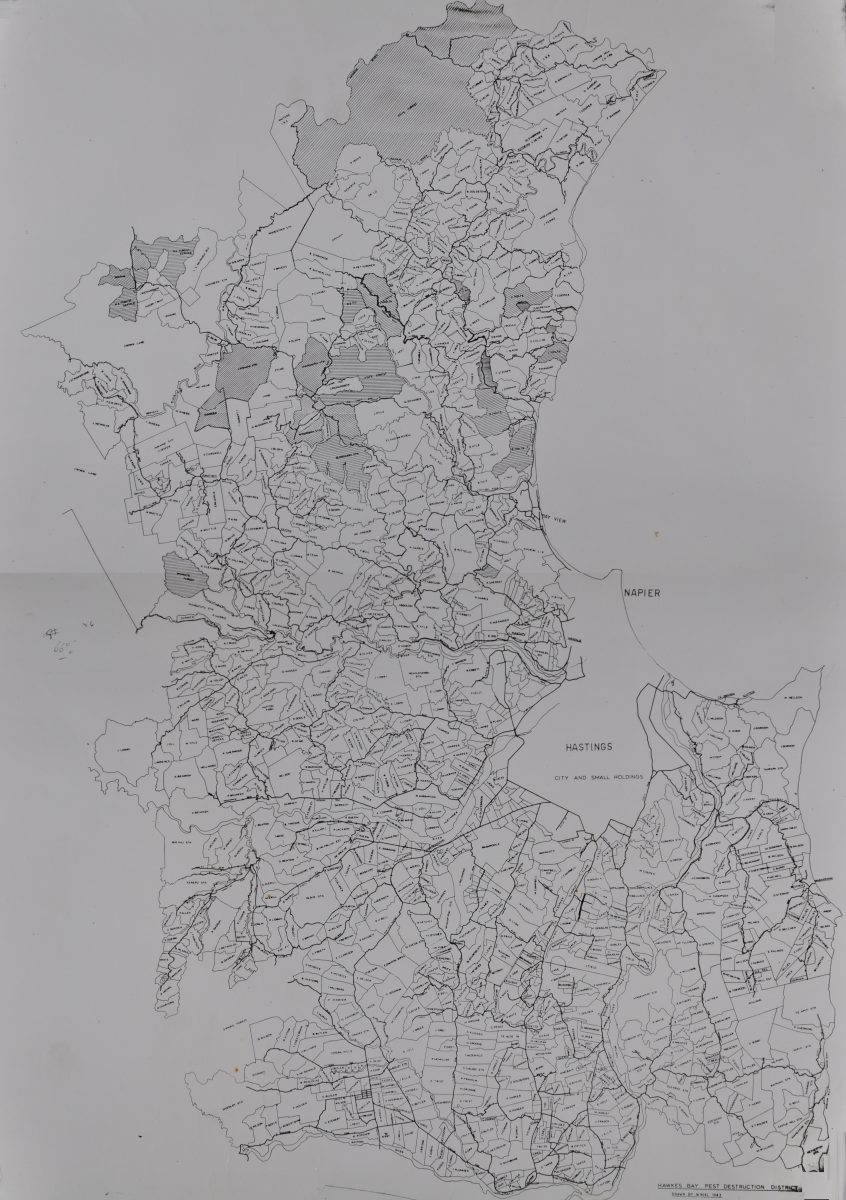
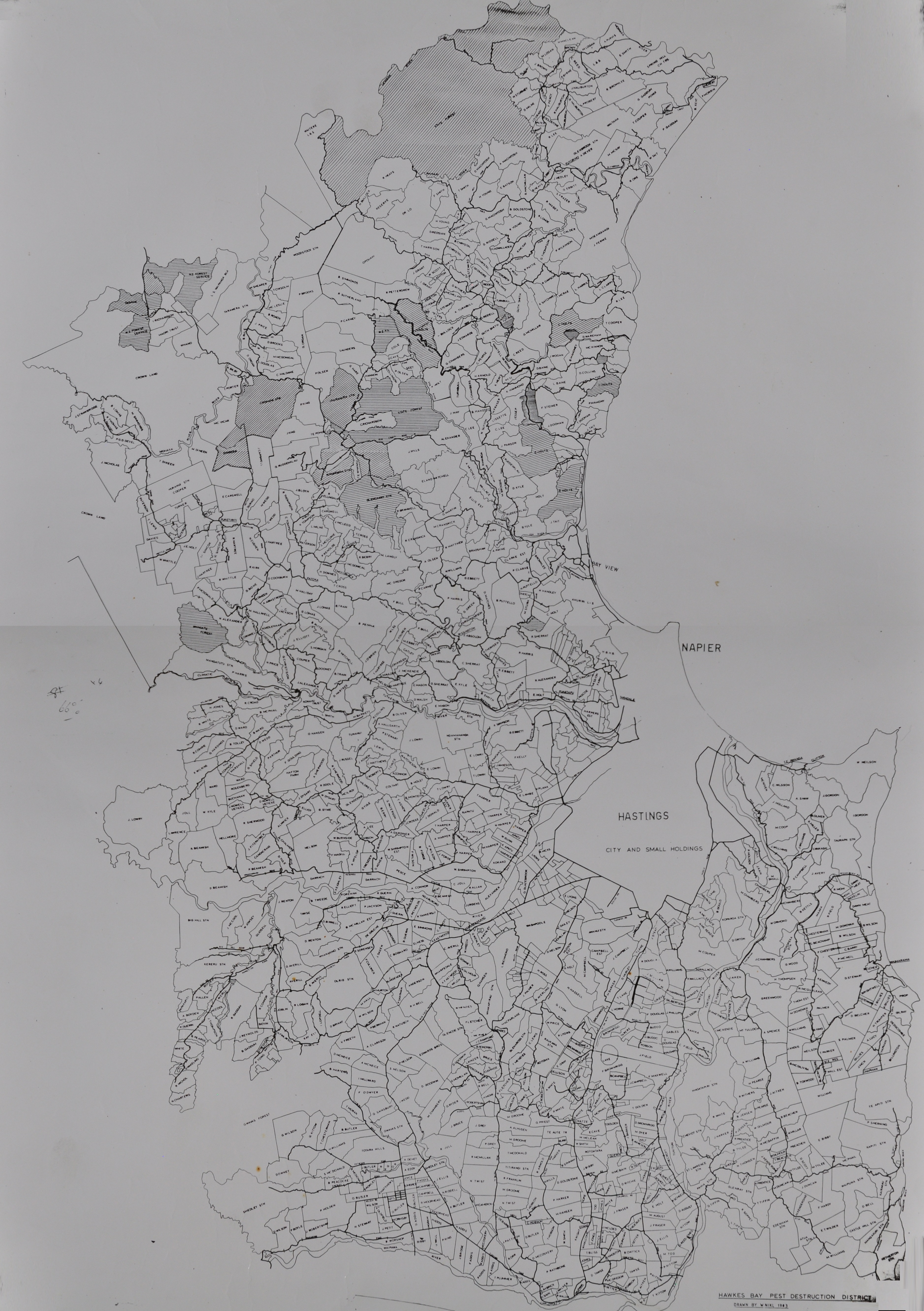
Hawke’s Bay Pest Destruction Board Farm Location Map 1983
Original digital file
morganj737-pestdes-01a.jpg
Non-commercial use

This work is licensed under a Attribution-NonCommercial 3.0 New Zealand (CC BY-NC 3.0 NZ).
Commercial Use
The donor of this material does not allow commercial use.✖
Can you help?
The Hawke's Bay Knowledge Bank relies on donations to make this material available. Please consider making a donation towards preserving our local history.
Visit our donations page for more information.
Description
Hawke’s Bay Pest Destruction District map, 1983
Subjects
Tags
Format of the original
MapDate published
1983Accession number
737/791/34474Supporters and sponsors
We sincerely thank the following businesses and organisations for their support.


Do you know something about this record?
Please note we cannot verify the accuracy of any information posted by the community.