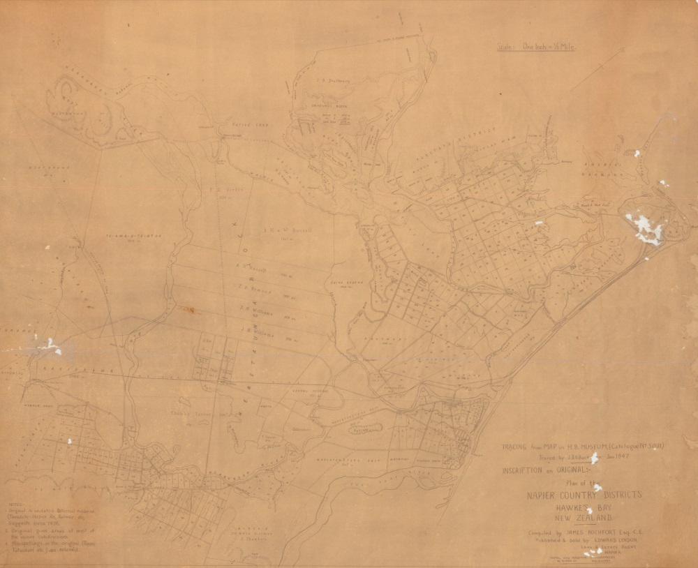
Napier Country Districts Map 1876
Original digital file
hastingsdc72-napier-country-districts-about1876-01.jpg
Non-commercial use

This work is licensed under a Attribution-NonCommercial 3.0 New Zealand (CC BY-NC 3.0 NZ).
Commercial Use
Please contact us for information about using this material commercially.✖
Can you help?
The Hawke's Bay Knowledge Bank relies on donations to make this material available. Please consider making a donation towards preserving our local history.
Visit our donations page for more information.
Description
Text on map –
“TRACING from MAP in H.B. MUSEUM (Catalogue No. 5001)
Traced by J.D.H. Buckham [?], Jan 1947.
INSCRIPTION ON ORIGINAL:-
Plan of the
NAPIER COUNTRY DISTRICTS
HAWKE’S BAY
NEW ZEALAND.
Compiled by JAMES ROCHFORT Esq. C.E.
Published & sold by EDWARD LYNDON,
LAND & ESTATE AGENT,
NAPIER
HAMEL AND FERGUSON LITHOGRAPHERS
85 QUEEN ST. MELBOURNE”


Do you know something about this record?
Please note we cannot verify the accuracy of any information posted by the community.