Soil Map 1938

Original digital file
WrightH545_Soil_Map_HeretaungaPlains_1938.jpg
Non-commercial use

This work is licensed under a Attribution-NonCommercial 3.0 New Zealand (CC BY-NC 3.0 NZ).
Commercial Use
Please contact us for information about using this material commercially.✖
Can you help?
The Hawke's Bay Knowledge Bank relies on donations to make this material available. Please consider making a donation towards preserving our local history.
Visit our donations page for more information.
Description
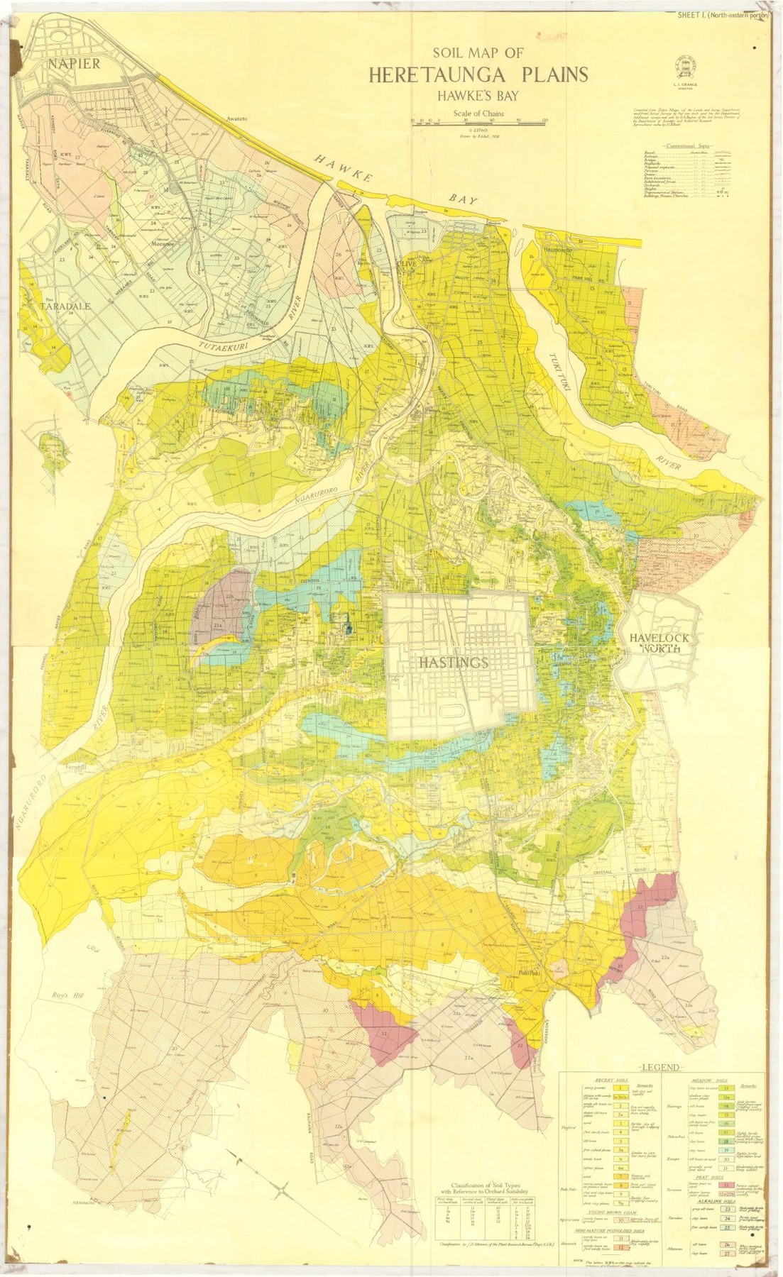
Soil Map of the Heretaunga Plains, Hawke’s Bay.
Compiled from Topo Maps of the Lands and Survey Department and from Aerial Surveys by Piet van Asch and the Air Department.
Additional surveys and soils by HA Hughes of the Soil Survey Division of the Department of Scientific and Industrial Research.
Agriculture notes by IL Elliott.
Subjects
Format of the original
MapAccession number
674/675/33986Supporters and sponsors
We sincerely thank the following businesses and organisations for their support.


Do you know something about this record?
Please note we cannot verify the accuracy of any information posted by the community.