Stortford Lodge Aerial Views 1983
Original digital file
houstonzd1274-greyfolder-0015-22-stortfordaerial-7-9-1983.pdf
Non-commercial use

This work is licensed under a Attribution-NonCommercial 3.0 New Zealand (CC BY-NC 3.0 NZ).
Commercial Use
Please contact us for information about using this material commercially.Can you help?
The Hawke's Bay Knowledge Bank relies on donations to make this material available. Please consider making a donation towards preserving our local history.
Visit our donations page for more information.
Description
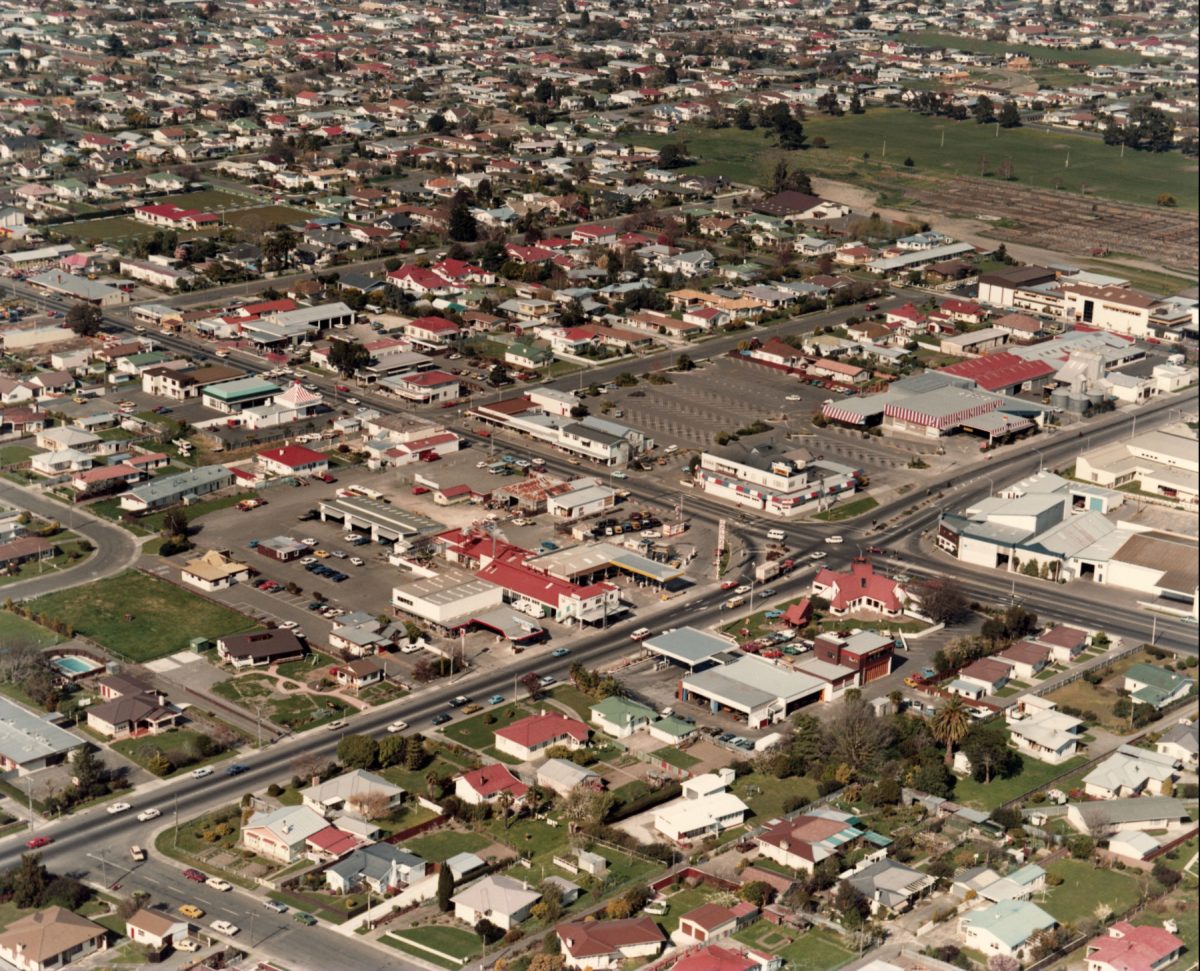
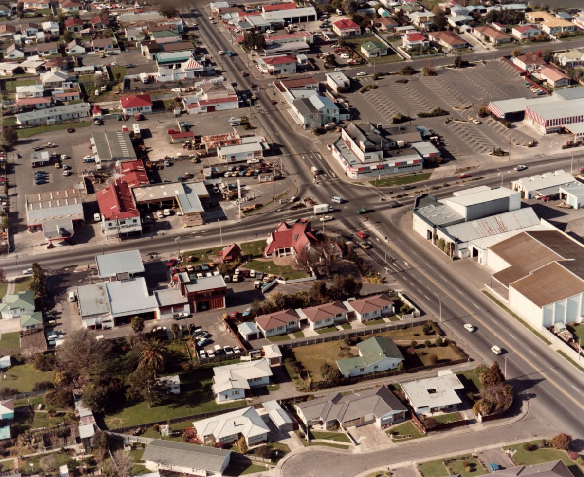
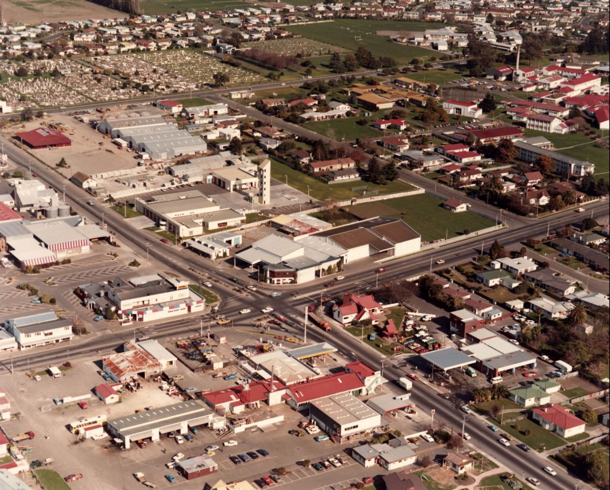
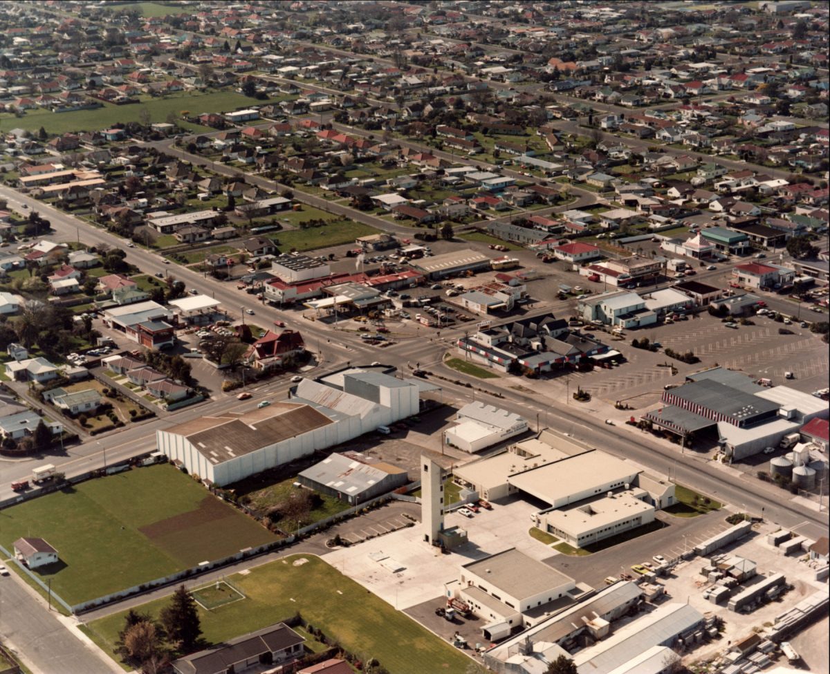
Aerial views of Stortford Lodge, 7 September 1983
1 – Pakowhai Road through intersection to Maraekakaho Road, bottom left; Tommo’s and Stortford Lodge Hotel, centre right; St Leonard’s Park, top right
2 – Heretaunga Street, top, through intersection to Omahu Road at bottom; Tommo’s Restaurant, Stortford Hotel, Kentucky Fried Chicken with striped pitch roof top
3 – Hastings Fire Station hose tower, centre; cemetery, top left and hospital, top right
4 – looking north-east; rear of Hastings Fire Station hose tower, Maraekakaho Road
5 – looking north-east; curved Nikau Street with Pakowhai Road, below; Kentucky Fried Chicken building middle right
6 – Hawke’s Bay Fallen Soldiers’ Memorial Hospital, top left; looking west: Stortford Street and Maraekakaho Road, bottom; Hastings Fire Station hose tower and hospital,
7 – looking west: Hastings Fire Station hose tower, centre; cemetery, left and hospital, middle right
8 – looking south: Pakowhai and Maraekakaho Roads, bottom left through intersection; Ikanui and Omahu Roads parallel, on right; saleyards and St Leonard’s Park, middle; Raureka, top


Do you know something about this record?
Please note we cannot verify the accuracy of any information posted by the community.