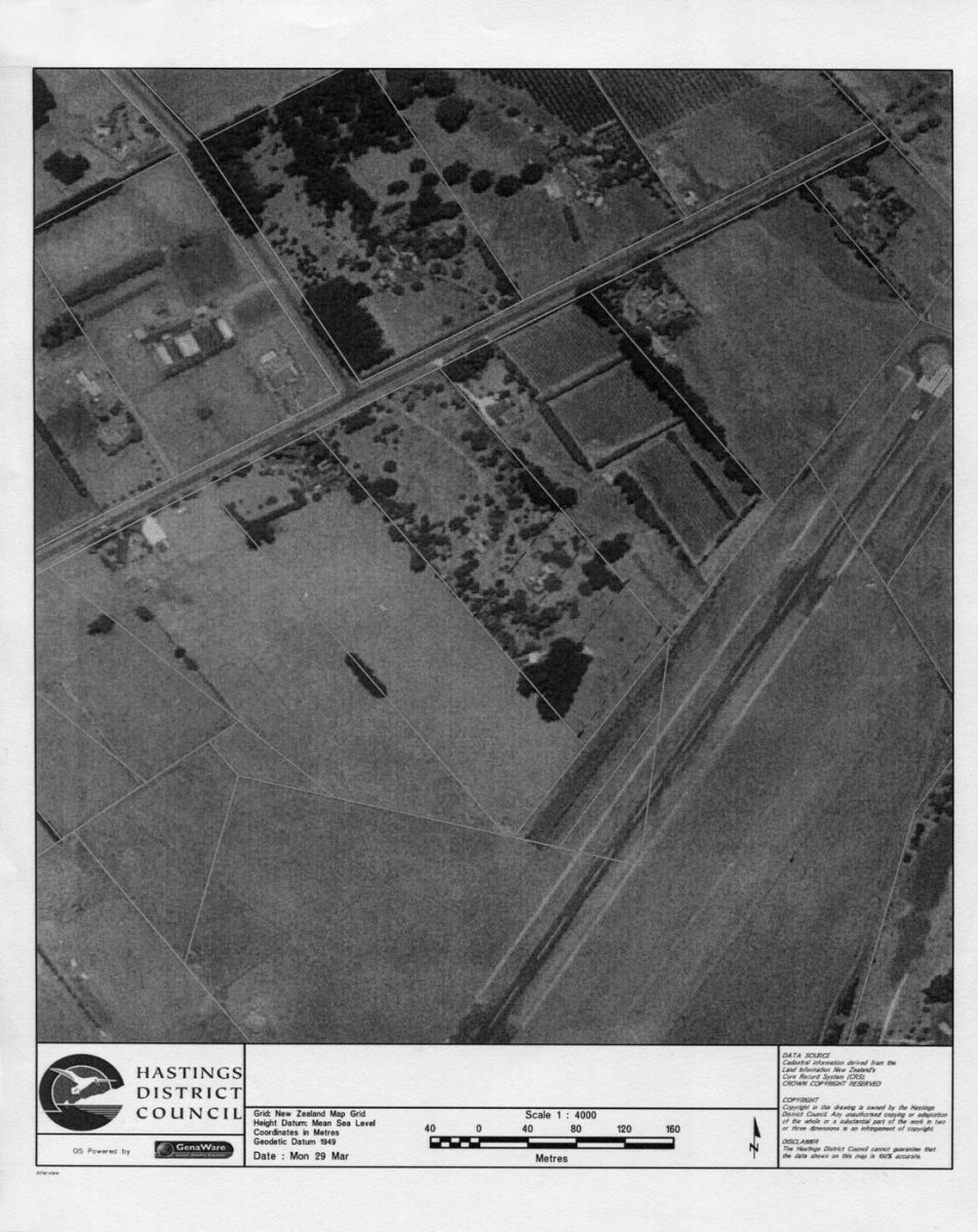
Aerial View Martin Property

HASTINGS
DISTRICT
COUNCIL

Grid: New Zealand Map Grid
Height Datum: Mean Sea Level
Coordinates in Metres
Geodetic Datum 1949

DATE : Mon 29 Mar

[Scale]

DATA SOURCE
Cadastral information derived from the Land Information New Zealand’s Core Record System (CRS).
CROWN COPYRIGHT RESERVED

COPYRIGHT
Copyright in this drawing is owned by the Hastings District Council. Any unauthorised copying or adaptation of the whole or a substantial part of the work is two or three dimensions is an infringement of copyright.

DISCLAIMER
The Hastings District Council cannot guarantee that the data shown on this map is 100% accurate.

Original digital file

MartinBJ615_JohnScott_File20_page7.jpg

Non-commercial use

Attribution-NonCommercial 3.0 New Zealand (CC BY-NC 3.0 NZ)

This work is licensed under a Attribution-NonCommercial 3.0 New Zealand (CC BY-NC 3.0 NZ).


Commercial Use

Please contact us for information about using this material commercially.

Can you help?

The Hawke's Bay Knowledge Bank relies on donations to make this material available. Please consider making a donation towards preserving our local history.

Visit our donations page for more information.

Description

Martin property in centre with trees

Business / Organisation

Hastings District Council

Format of the original

Map

Date published

29 March

Publisher

Hastings District Council

Accession number

545044

Do you know something about this record?

Please note we cannot verify the accuracy of any information posted by the community.

Supporters and sponsors

We sincerely thank the following businesses and organisations for their support.