Blowhard Bush Reserve 2002
FOREST & BIRD
HOME ABOUT US OUR CONSERVATION WORK JOIN US CLUB FOR KIDS OUR BRANCHES ENJOYING NATURE WHAT YOU CAN DO
Enjoying nature
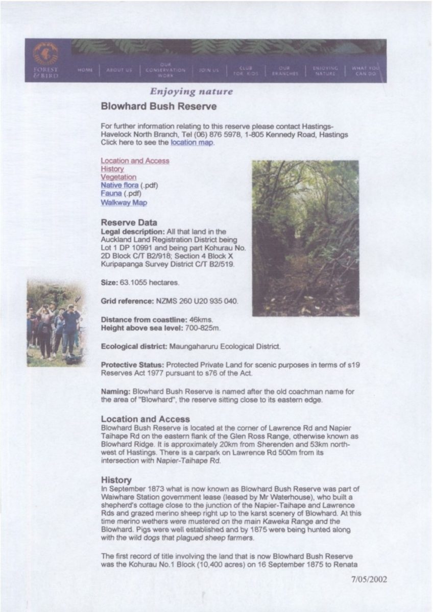
Blowhard Bush Reserve
For further information relating to this reserve please contact Hastings-Havelock North Branch, Tel (06) 876 5978, 1-805 Kennedy Road, Hastings
Click here to see the location map.
Location and Access
History
Vegetation
Native floral (.pdf)
Fauna (.pdf)
Walkway Map
Reserve Data
Legal description: All that land in the Auckland Land Registration District being Lot 1 DP 10991 and being part Kohurau No. 2D Block C/T B2/918; Section 4 Block X Kuripapanga [Kuripapango] Survey District C/T B2/519.
Size: 63.1055 hectares.
Grid reference: NZMS 260 U20 935 040.
Distance from coastline: 46kms.
Height above sea level: 700-825m.
Ecological district: Maungaharuru Ecological District.
Protective Status: Protected Private Land for scenic purposes in terms of s19 Reserves Act 1977 pursuant to s76 of the Act.
Naming: Blowhard Bush Reserve is named after the old coachman name for the area of “Blowhard”, the reserve sitting close to its eastern edge.
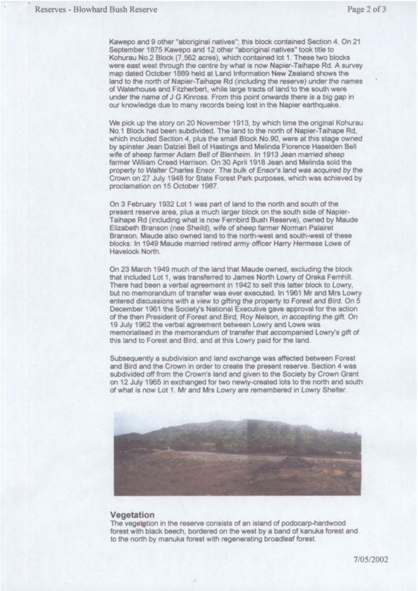
Location and Access
Blowhard Bush Reserve is located at the corner of Lawrence Rd and Napier Taihape Rd on the eastern flank of the Glen Ross Range, otherwise known as Blowhard Ridge. It is approximately 20km from Sherenden and 53km north-west of Hastings. There is a carpark on Lawrence Rd 500m from its intersection with Napier-Taihape Rd.
History
In September 1873 what is now known as Blowhard Bush Reserve was part of Waiwhare Station government lease (leased by Mr Waterhouse), who build a shepherd’s cottage close to the junction of the Napier-Taihape and Lawrence Rds and grazed merino sheep right up to the karst scenery of Blowhard. At this time merino wethers were mustered on the main Kaweka Range and the Blowhard. Pigs were well established and by 1875 were being hunted along with the wild dogs that plagued sheep farmers.
The first record of title involving the land that is now Blowhard Bush Reserve was the Kohurau No. 1 Block (10,400 acres) on 16 September 1875 to Renata
7/05/2002
Reserves – Blowhard Bush Reserve Page 2 of 3
Kawepo and 9 other “aboriginal natives”; this block contained Section 4. On 21 September 1875 Kawepo and 12 other “aboriginal natives” took title to Kohurau No. 2 Block (7,562 acres), which contained lot 1. These two blocks were east west through the centre by what is now Napier-Taihape Rd. A survey map dated October 1889 held at Land Information New Zealand shows the land to the north of Napier-Taihape Rd (including the reserve) under the names of Waterhouse and Fitzherbert, while large tracts of land to the south were under the name of J G Kinross. From this point onwards there is a big gap in our knowledge due to many records being lost in the Napier earthquake.
We pick up the story on 20 November 1913, by which time the original Kohurau No. 1 Block had been subdivided. The land to the north of Napier-Taihape Rd, which included Section 4, plus the small Block No. 90, were at this stage owned by spinster Jean Dalziel Bell of Hastings and Melinda [Melina] Florence Haselden Bell wife of sheep farmer Adam Bell of Blenheim. In 1913 Jean married sheep farmer William Creed Harrison. On 30 April 1918 Jean and Melinda sold the property to Walter Charles Ensor. The bulk of Ensor’s land was acquired by the Crown on 27 July 1948 for State Forest Park purposes, which was achieved by proclamation on 15 October 1987.
On 3 February 1932 Lot 1 was part of land to the north and south of the present reserve area, plus a much larger block on the south side of Napier-Taihape Rd (including what is now Fernbird Bush Reserve), owned by Maude Elizabeth Branson (nee Sheild [nee Wallis, formerly Sheild]), wife of sheep farmer Norman Palairet Branson. Maude also owned land to the north-west and south-west of these blocks. In 1949 Maude married retired army officer Harry Hermese Lowe of Havelock North.
On 23 March 1949 much of the land that Maude owned, excluding the block that included Lot 1, was transferred to James North Lowry of Oreka Fernhill. There had been a verbal agreement in 1942 to sell this latter block to Lowry, but no memorandum of transfer was ever executed. In 1961 Mr and Mrs Lowry entered discussions with a view to gifting the property to Forest and Bird. On 5 December 1961 the Society’s National Executive gave approval for the action of the then President of Forest and Bird, Roy Nelson, in accepting the gift. On 19 July 1962 the verbal agreement between Lowry and Lowe was memorialised in the memorandum of transfer that accompanied Lowry’s gift of this land to Forest and Bird, and at this Lowry paid for the land.
Subsequently a subdivision and land exchange was affected between Forest and Bird and the Crown in order to create the present reserve. Section 4 was subdivided off from the Crown’s land and given to the Society by Crown Grant on 12 July 1965 in exchanged for two newly-created lots to the north and south of what is now Lot 1. Mr and Mrs Lowry are remembered in Lowry Shelter.
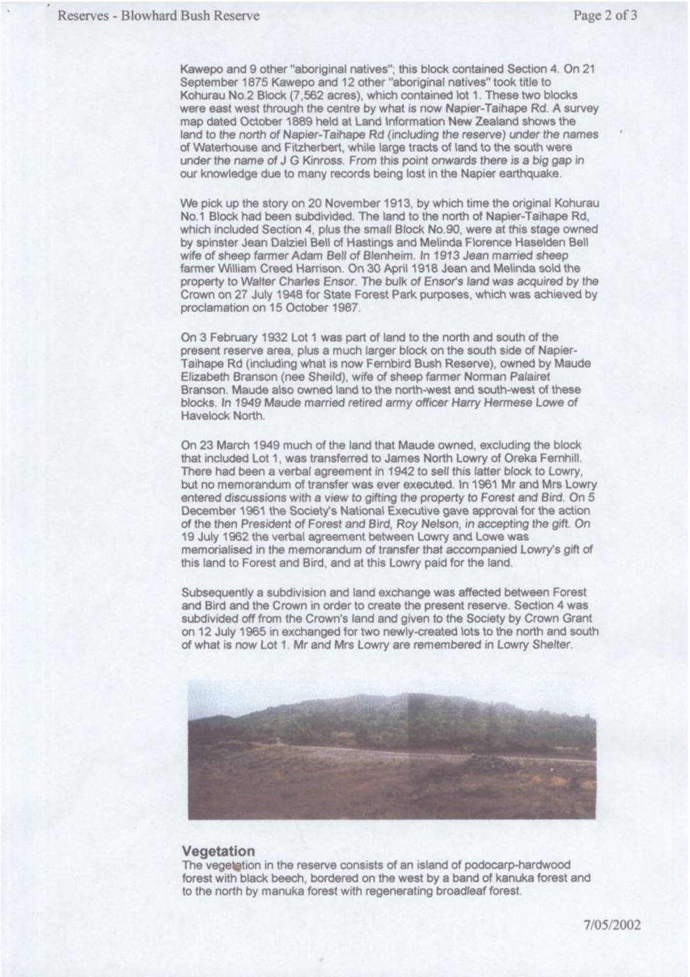
Vegetation
The vegetation in the reserve consists of an island of podocarp-hardwood forest with black beech, bordered on the west by a band of kanuka forest and to the north by manuka forest with regenerating broadleaf forest.
7/05/2002
Reserves – Blowhard Bush Reserve Page 3 of 3
Within the podocarp/broadleaf forest there are many trees in excess of 500 years old. One 25m tall matai of 155cm girth and 5m bole has been estimated to be 7-800 years old. Another matai of 130cm girth and 5m bole is 600-650 years old and a third matai of 115cm girth and 6m bole is 550-600 years old. A 26m tall rimu of 175cm girth and 11m bole is 700-750 years old and two rimu of 110cm and 95cm girth are 550-600 years and 500 years old respectively. An 18m tall miro of 90cm girth and 5m bole is 400-500 years old. Kahikatea to 145cm girth are scattered about. Black maire Nestegis cunninghamii to 110cm, papaumu Griselinia littoralis to 120cm, hinau, horopito Pseudowintera colorata, kanono (Coprosma grandifolia) and supplejack are common.
There are deep leaf litter deposits within this forest and hen and chicken fern is common in the ground tier. The vegetation types are:
Mahoe-horopito-kanono-kohuhu-Hoheria spp-papaumu-kotukutuku forest with localised black beech and emergent matai, rimu, kahikatea and miro on hill slopes.
Kanuka forest with rangiora, kanono, Coprosma lucida, horopito and papaumu on ridge crest.
Manuka shrublands with Coriaria spp., Cyathodes junierpina, papaumu, Hebe stricta, kokohu, Phormium cookianum and Gautheria spp. on ridge crest and hill slopes.
Manaka forest with emergent ti kouka and localised katote on hill slopes.
Thelymitra “Comet”, a rare orchid listed as local, was discovered by Bill Liddy in December 1999. This species is a natural sterile hybrid and was reported in the Kaweka Ranges, also by Liddy. It had not been seen in the wild since 1992. Toward the southern end of the reserve at the edge of Lawrence Rd there is a small wetland with deep water. This is bordered on the northern margins by Carex germinata sedgeland with toetoe Cortaderia fulvida, flax Phormium tenax and koromiko Hebe stricta.
Since 1969 revegetation has been conducted on the erosion-scarred crest of the reserve using tutu Coriaria arborea. In 1977 secondary regrowth was appearing from the bases of the tutu, mainly koromiko, puahou, manuka, papaumu, makomako and Senecio minimus. By 1986 the secondary growth was overpowering the tutu and supporting podocarp seedlings, with manuka forming clumps. By 1990 the secondary growth plantings were dominant and Pinus seedlings were germinating and had to be removed.
7/05/2002
Original digital file
WardLM661-12_BlowhardBush.pdf
Non-commercial use

This work is licensed under a Attribution-NonCommercial 3.0 New Zealand (CC BY-NC 3.0 NZ).
Commercial Use
Please contact us for information about using this material commercially.Can you help?
The Hawke's Bay Knowledge Bank relies on donations to make this material available. Please consider making a donation towards preserving our local history.
Visit our donations page for more information.
Tags
Location
Napier-Taihape RoadFormat of the original
Online documentDate published
7 May 2002People
- Adam Bell
- Jean Dalziel Bell
- Melina Florence Haselden Bell
- Maude Elizabeth Branson, nee Sheild
- Norman Palairet Branson
- Walter Charles Ensor
- William Creed Harrison
- Renata Kawepo
- J G Kinross
- Harry Hermese Lowe
- James North Lowry
- Fitzherbert, Waterhouse
Accession number
611482Supporters and sponsors
We sincerely thank the following businesses and organisations for their support.


Do you know something about this record?
Please note we cannot verify the accuracy of any information posted by the community.